Nautical paper charts

Norbert with nautical chart of Svalbard

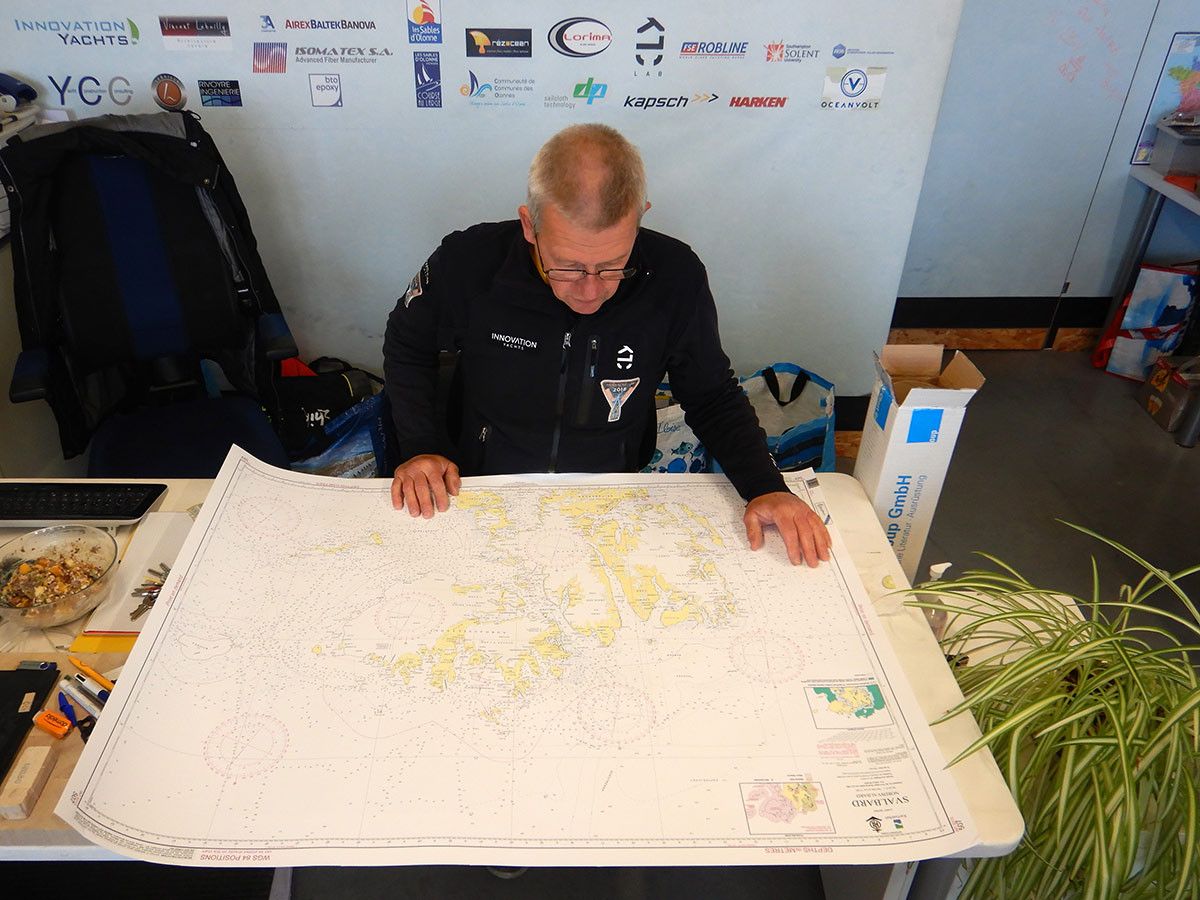
Who says paper charts are not necessary anymore?

As I will sail up in the Arctic đŸŒŽâ›”, rounding Svalbard higher than 80°N ❄, the digital sea maps are not available for that region. So, let’s go back to paper charts đŸ—ș🙂 for me this is a nice flashback to my turn in the Antarctic in 2000/2001.

Share:

More Posts

Team smiling on Paracou beach - ANT ARCTIC LAB

We had planned a test sail


to adjust the mainsail and the last of the large headsails and stow them properly. However, the weather didn’t cooperate with the forecastâ˜č—so we had

Norbert is standing on the Open60AAL, showing the SÀÀf Rent branding on a foresail - ANT ARCTIC LAB

Today was a perfect day


Weather conditions were perfect to hoist and then roll up the foresails. â›” We will finalize it tomorrow, and then, all sails will be ready

Send Us A Message

By entering your personal information, you agree to the terms of our privacy policy. You can withdraw your consent at any time directly from management of personal data or by contacting us.